Filter by
Found 2 from your keywords: subject="cartography"

Mapping Beyond Measure: Art, Cartography, and the Space of Global Modernity
Over the last century a growing number of visual artists have been captivated by the entwinements of beauty and power, truth and artifice, and the fantasy and functionality they perceive in geographical mapmaking. This field of “map art” has moved into increasing prominence in recent years yet critical writing on the topic has been largely confined to general overviews of the field. In M…
- Edition
- 1st ed.
- ISBN/ISSN
- 9781496217905
- Collation
- xvi
- Series Title
- Cultural Geographies + Rewriting the Earth
- Call Number
- RD 526 Fer m

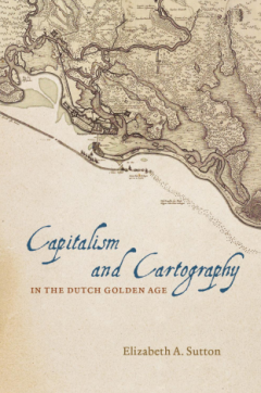
Capitalism and Cartography in the Dutch Golden Age
Now characteristic of the Dutch Golden Age, printed maps, views, and historical descriptions of Dutch Atlantic possessions were prolific in the seventeenth-century Dutch Republic. They were in books, hung on walls, and sold in single sheets to consumers eager to learn about exploration, trade, and colonization.
- Edition
- 1st ed.
- ISBN/ISSN
- 12978022625481
- Collation
- vii + 181 pp.; 14 x 20 cm
- Series Title
- -
- Call Number
- RD 526.09492 Sut c
 Computer Science, Information & General Works
  Philosophy & Psychology
  Religion
  Social Sciences
  Language
  Pure Science
  Applied Sciences
  Art & Recreation
  Literature
  History & Geography